
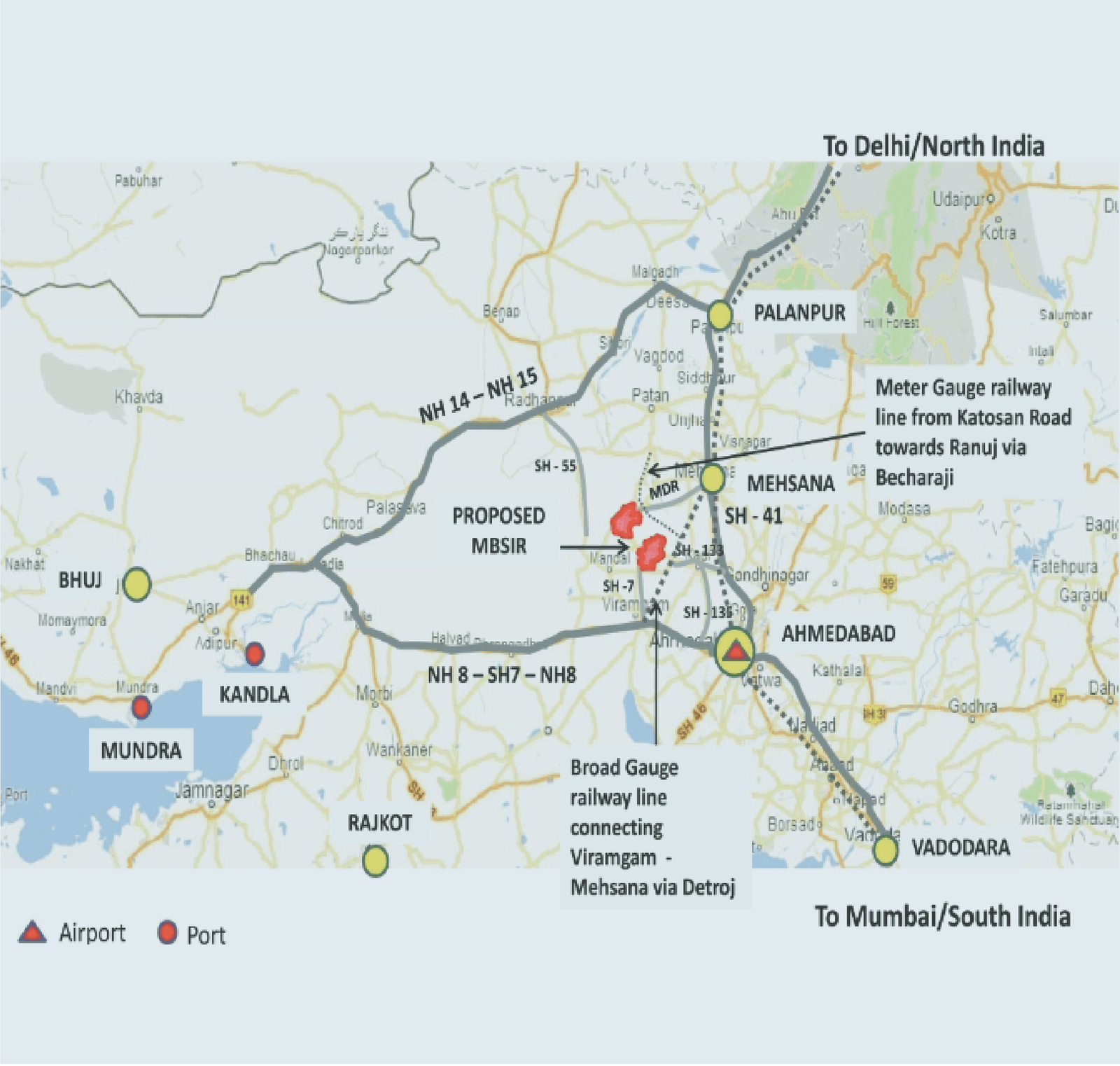
An expressway is designed to move people and goods faster. But once a new road changes accessibility, it also changes something less visible: the geography of development. Places that were once peripheral can suddenly become strategically located. Land values change. Industries can relocate. Warehouses follow freight routes. Employment centres emerge. Small towns can become regional service centres. This is already happening in different ways across Gujarat.
The state has spent decades building an interconnected industrial and transport economy through ports, highways, GIDC estates and Special Investment Regions. Its expanding expressway network adds another layer to this system. The Ahmedabad-Vadodara Expressway is already operational, while the Delhi-Mumbai Expressway and other major corridors are strengthening connections across the state and beyond.
The interchange is where the planning begins
An expressway interchange is more than an exit from a highway. It is a new point of accessibility within a much larger territory. Within a few kilometres, there may already be villages, agricultural land, industrial estates, water systems and existing roads. A new interchange can suddenly make all of these more accessible to regional markets. Without planning, development will naturally follow the easiest and cheapest opportunities. This is not necessarily a failure of development. It is a failure to plan for the development that the infrastructure itself is likely to generate.
What if we planned the node, not just the road?
This is where Gujarat has an opportunity. Major expressway entry-exit nodes could be considered as potential regional economic nodes, with planning undertaken before development begins. Different nodes could serve different functions depending on their location and existing economic geography. One might support logistics and warehousing because of its proximity to a port or freight corridor. Another could connect an existing industrial cluster to national markets. Another could strengthen a smaller town by bringing employment and services closer to it. The objective would not be to create a new industrial estate at every interchange. It would be to understand what each location can support, what already exists there, and what kind of growth would benefit the wider region. That requires looking beyond the highway boundary.
The town cannot be left out
One of the biggest risks of corridor-led development is that infrastructure can bypass existing settlements while simultaneously placing enormous pressure on them. A new industrial or logistics hub needs workers. Workers need housing, schools, healthcare, public transport and everyday services. If these are not planned as part of the growth corridor, they will emerge incrementally and often informally.
This is why expressway planning cannot remain a transportation exercise. It needs to be connected to regional plans, land-use planning, housing, public transport and infrastructure planning.
From infrastructure corridors to growth corridors
India has increasingly recognised the relationship between transportation infrastructure and industrial development through the industrial corridor programme. Gujarat already has experience with this model through its industrial estates and Special Investment Regions. The opportunity now is to think at a more connected regional scale.
Instead of treating the expressway, industrial area, town and logistics network as separate projects, they could be considered as parts of a single growth corridor.
The next geography of Gujarat
Over the next decade, some of Gujarat's most significant growth may not occur within its established metropolitan centres. At the intersections of highways and existing roads. Around industrial estates. Near ports and freight terminals. At the edges of smaller towns. Around new expressway interchanges.