Master Plan, Kanigiri Town
Project Summary
Kanigiri was selected under the GIS-based Master Plan initiative, and the Master Plan was prepared under the AMRUT Scheme.
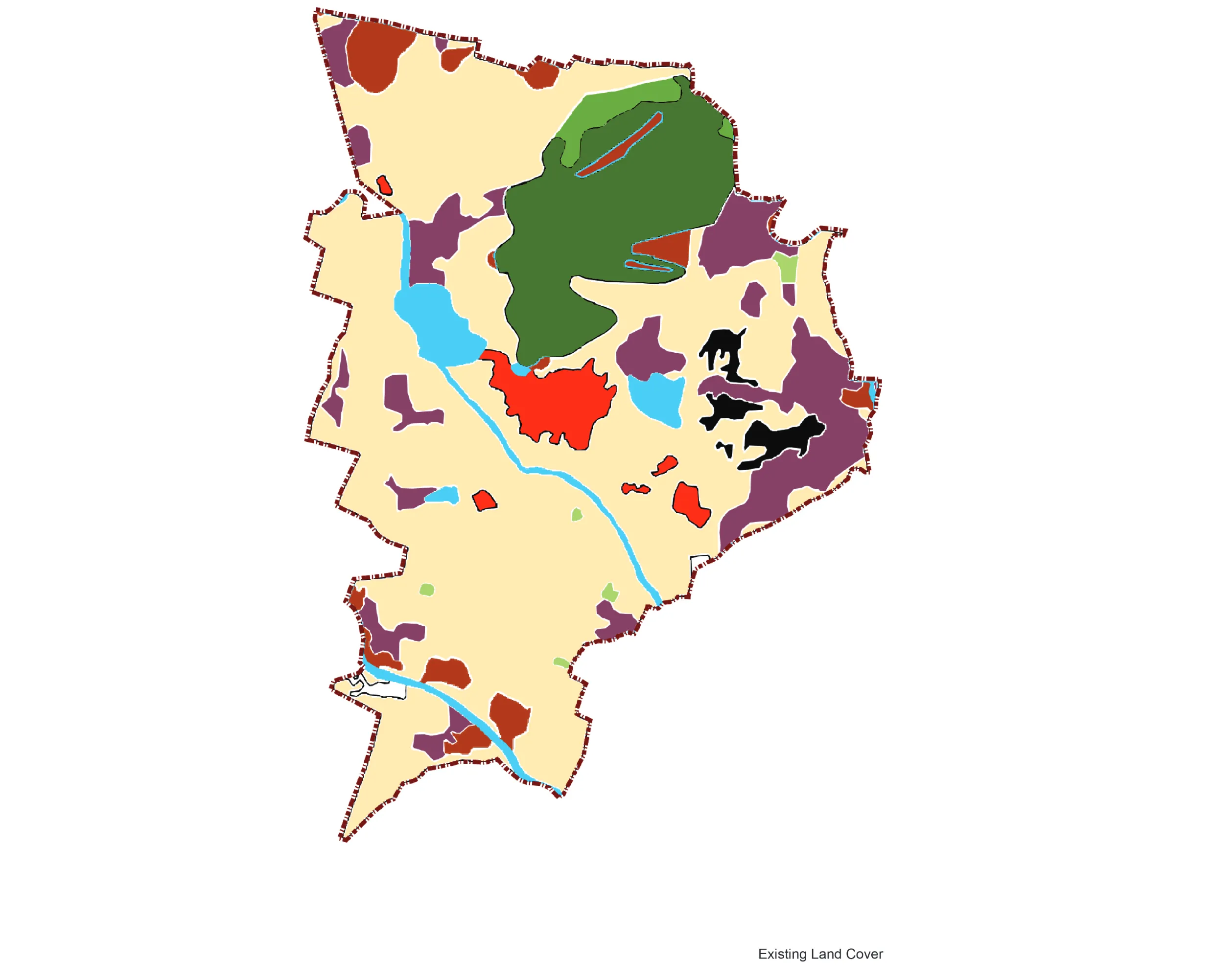
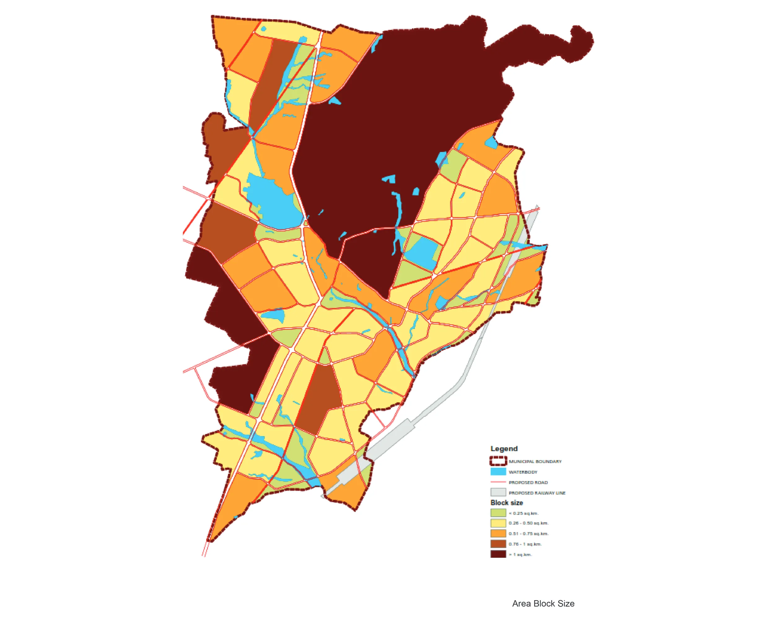
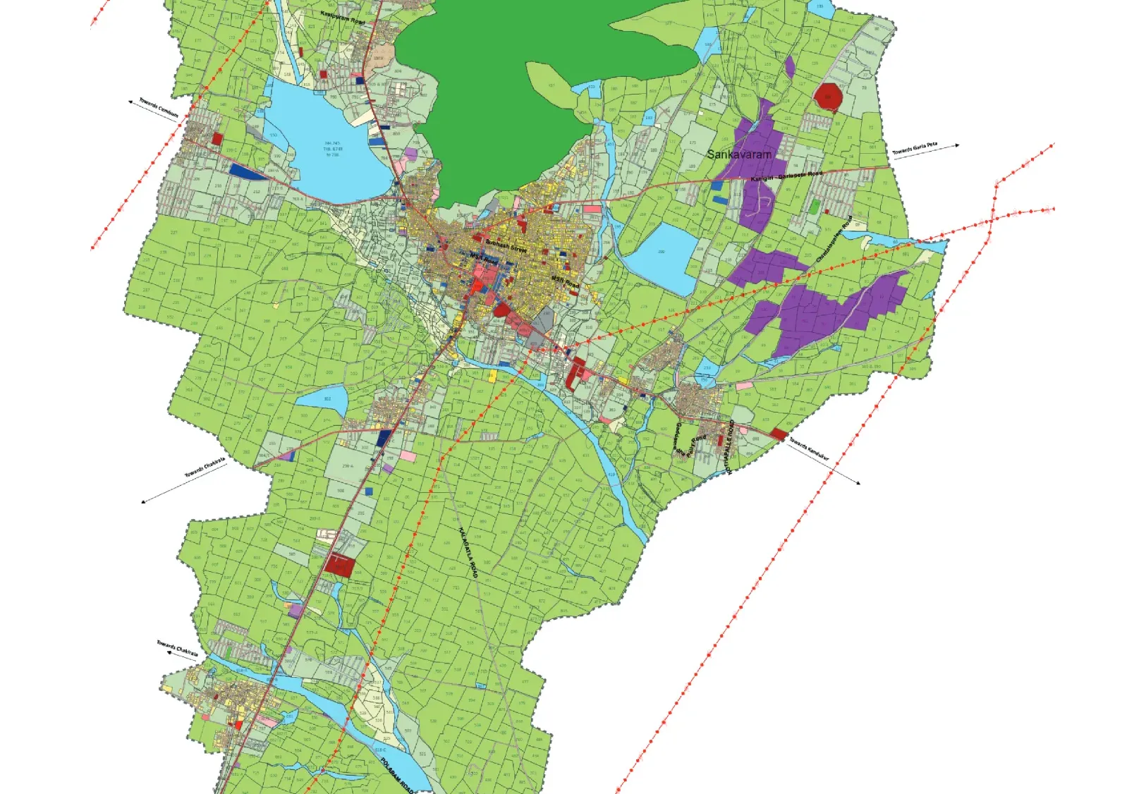
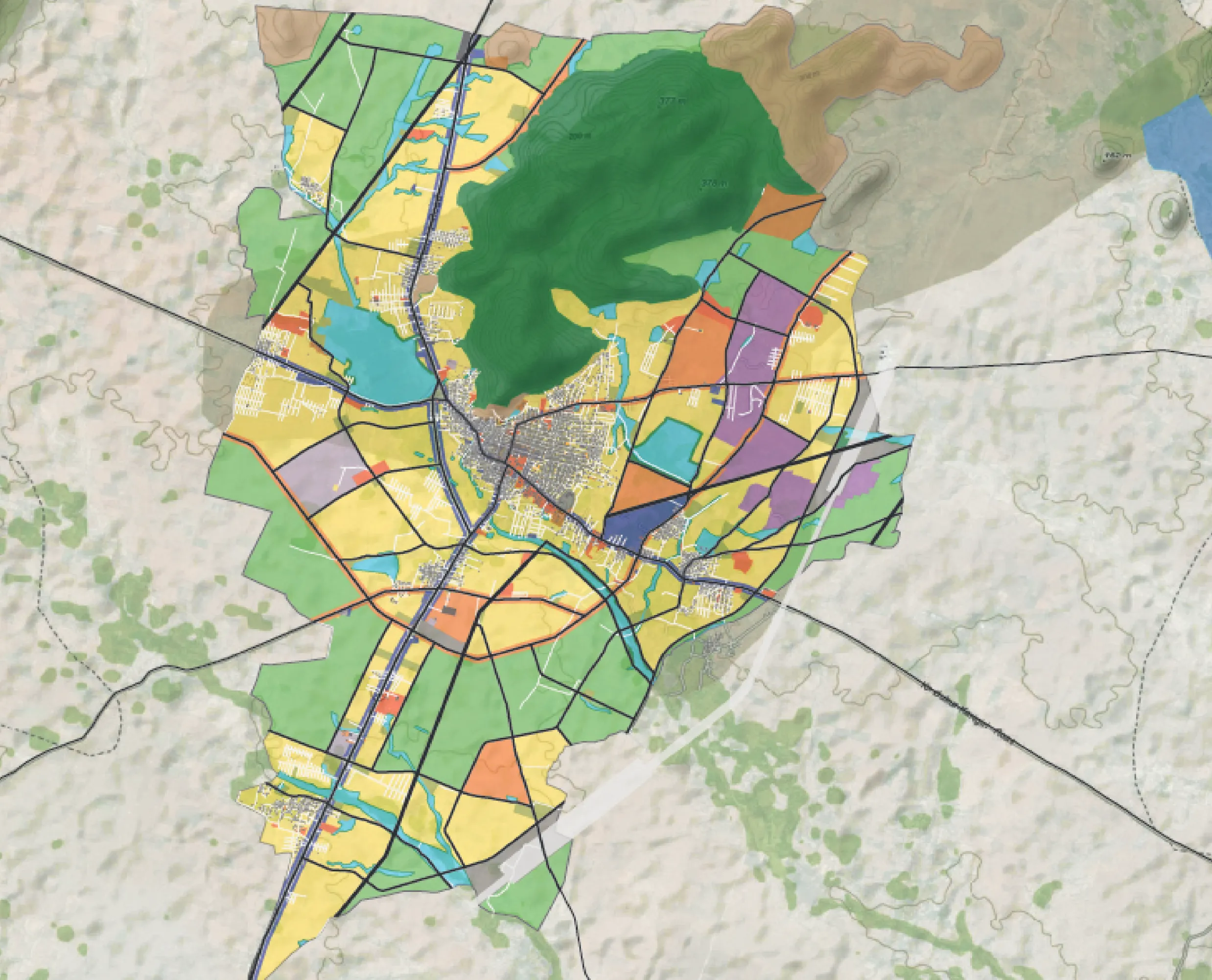
The Master Plan established a land use and spatial framework to guide and rationalise future development while strengthening existing economic activities through improved road infrastructure. Commercial and mixed-use zones were planned in strategic locations and along major roads to leverage land value and generate revenue. Kanigiri has varying topography, with a hill along its northern edge and two major drains passing through the town. The Master Plan responded to these natural conditions by conserving the existing drainage systems through green buffers and aligning the proposed road network with the natural drainage patterns and topography. This approach integrated the town's natural systems with its urban structure while facilitating the provision of long-term water supply and drainage infrastructure.