
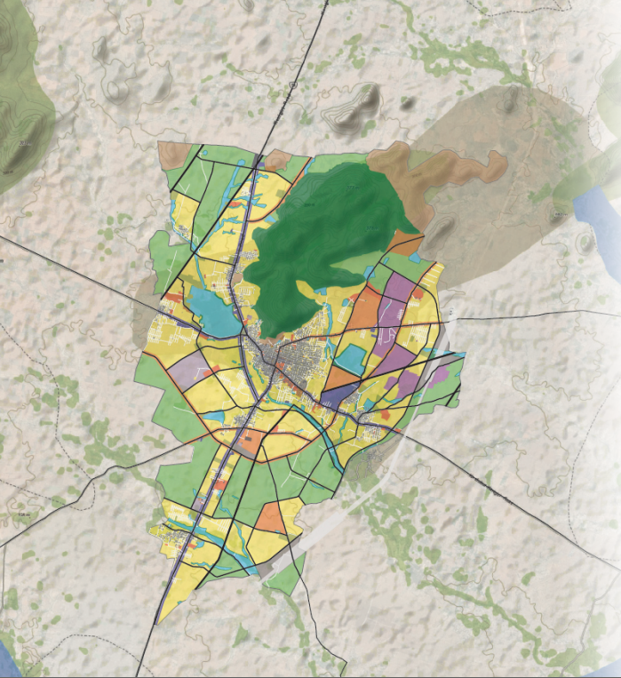
Master Plan for Kanigiri Town
To achieve the Goal of Electronic Governance for all the Services of the ULBs, large Scale and detailed GIS Base Maps have been required.
For this purpose, the Government has identified prepare 110 Urban Local Bodies of Andhra Pradesh for preparation of GIS Based Maps. Kanigiri is one of the selected ULBs under GIS based Master Plan.
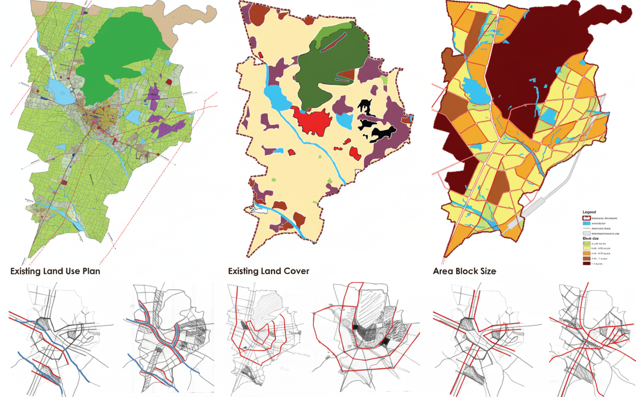
Kanigiri Municipality is the 6th largest municipality located on the south side of the Prakasam District in Andhra Pradesh, having an area of 54 sq km.
GIS based Master Plan was prepared for Kanigiri as per AMURT Scheme for which DT&CP has taken the initiative to prepare a revised Master Plan for the year 2041.
The overall objective of the Kanigiri Master Plan is to create land use planning and enabling spatial framework in order to promote, guide and rationalise the development.
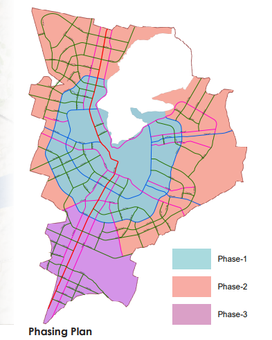
This plan will encourage existing economic activities to grow by providing adequate infrastructure in terms of the road network and preservation of natural features.
Kanigiri has varying topography with the hill located on the northern edge there are 2 major drains passing through the town.
Considering natural drainage of rain water, the master plan aims at conserving them by providing green buffers and roads along the natural drains in conformity with the topography making provisions for infrastructure like water supply and drainage easier.
Commercial and mixed use zones are provided in pockets and along the major roads to tap the land value and generate revenue.